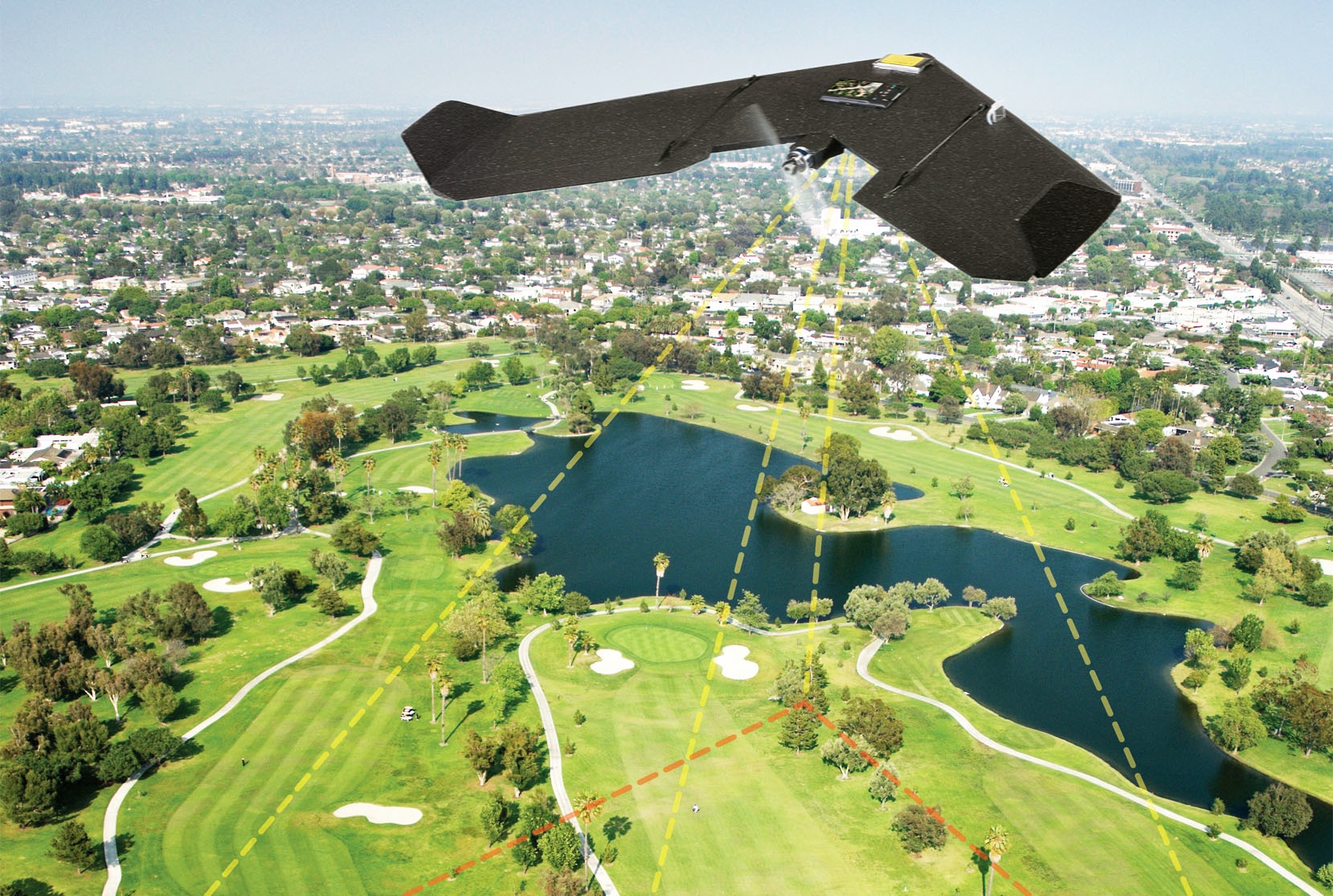
Land surveying is a technique of determining the terrestrial or three-dimensional position of points and the distances and angles between them. Drone surveys are a faster, safer and more cost-efficient way to survey at height. Sometimes referred to as aerial surveys, UAS (Unmanned Aerial System) surveys, or UAV (Unmanned Aerial Vehicle) surveys, drone surveys are an increasingly popular method of surveying from the air.
Drone Ariel Land Survey
Objective :
- Assemble and interpret land and geographically related information.
- Determine, measure and represent land, three-dimensional objects, point-fields and trajectories.
- Better planning and efficient administration of the land, the sea and any structures.
Features :
Adds additional layer of land access.
Adds additional monitoring, precision measurement and documentation.
This technology allows for safe mapping of terrains and property.
Produces high quality surveying results that equal or surpass traditional method.
Provides planning development resources.
Additional ground images and aerial views of urban landscapes.
Benefits :
Reduce field time and survey costs.
Provide accurate and exhaustive data.
Map inaccessible areas.
Increased accuracy.
Improved graphics and videos.
Improved safety by eliminating the need for surveyors to traverse unknown location.


